All Examples
Browse the complete set of Autark examples, from introductory demos to more advanced workflows combining database, mapping, compute, and plotting modules.
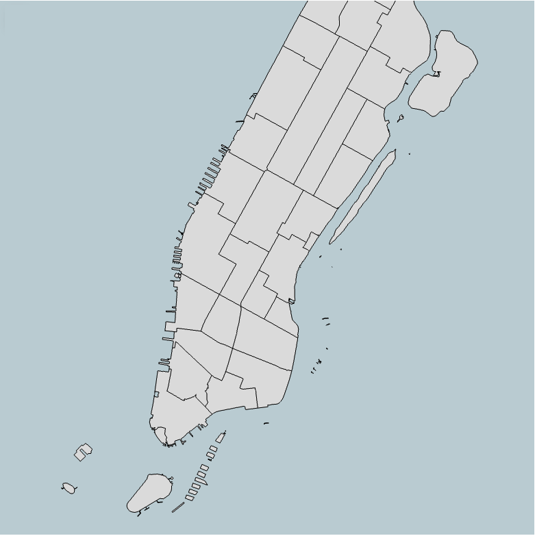
Standalone GeoJSON Viewer
Render GeoJSON layers directly in the browser with a minimal setup.
Open Example →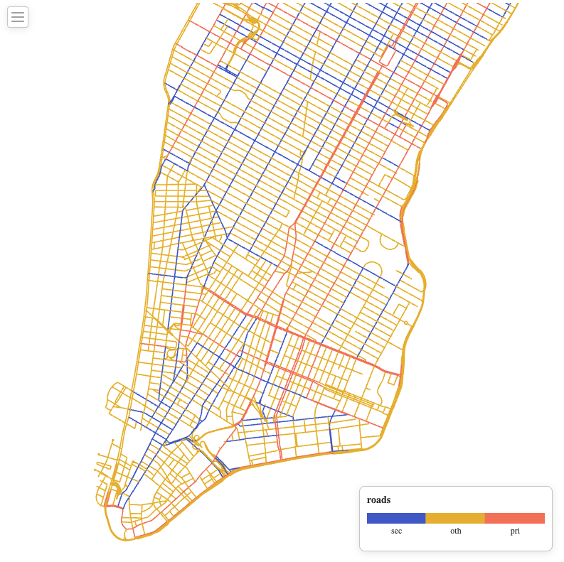
Spatial Join in the Browser
Combine spatial datasets in the browser and visualize the results instantly.
Open Example →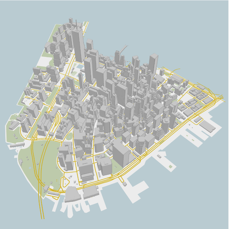
3D OSM City Explorer
Load urban layers from OpenStreetMap and explore city scenes in 3D.
Open Example →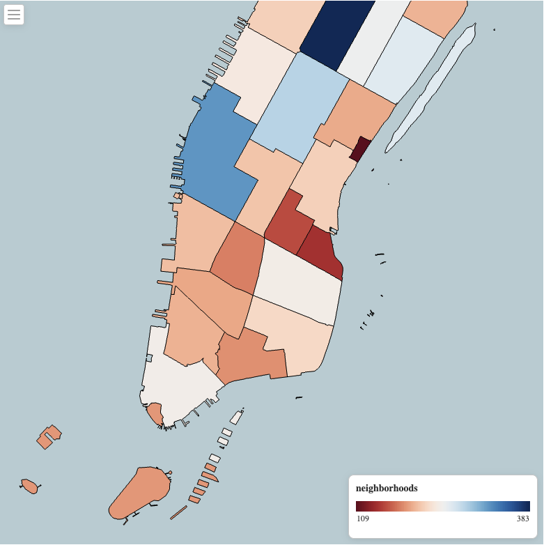
GPU Property Compute
Run GPU-accelerated computations on feature properties and map the results in real time.
Open Example →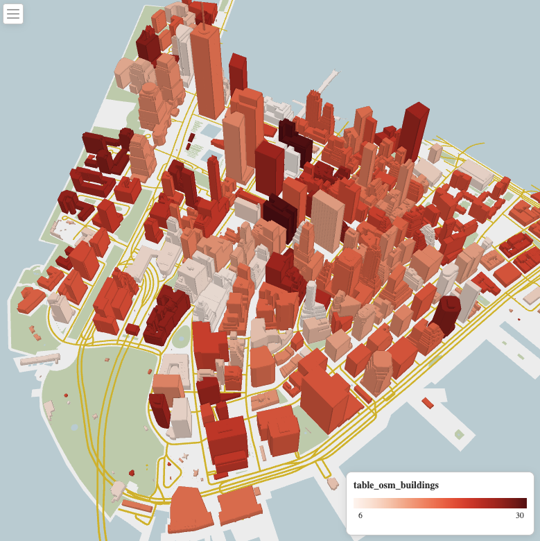
Linked Views for Urban Analysis
Link maps and charts to build coordinated urban visual analytics workflows.
Open Example →Network Accessibility Explorer
Prototype example page reserved for future multi-layer urban accessibility analysis.
Open Example →Temporal Change Viewer
Placeholder example for future time-aware urban comparison workflows.
Open Example →Scenario Comparison Dashboard
Placeholder example for side-by-side scenario analysis and coordinated views.
Open Example →